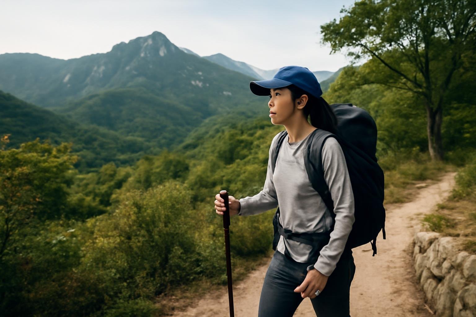
South Korean hiking trails range from short, paved walks beside Seoul subway stations to demanding mountain routes involving steep rock, exposed ridges, snow, and rapidly changing weather. The key to enjoying them is to treat a “mountain” as a network of separate trails—not one universally easy attraction. Check the exact route, current conditions, transport, and closing times before setting out.
For many visitors, the easiest introduction is an urban mountain such as Namsan, Achasan, or Inwangsan. More strenuous day hikes include Bukhansan near Seoul, Seoraksan in Gangwon-do, Jirisan in the south, and Hallasan on Jeju Island. Korea’s national parks and major city mountains are generally well marked, but the difficulty can increase sharply after a gentle forest path gives way to stairs, roots, boulders, or cables.
Choose the right kind of hike
Start with the experience you want rather than the most famous peak.
- Easy city walks: Namsan and Achasan offer relatively accessible routes and views without committing to an all-day mountain hike. Achasan’s summit area is about a 15-minute walk from Gwangnaru Station and can be visited in under two hours, depending on your route and pace.
- Moderate Seoul hikes: Inwangsan, Gwanaksan, and parts of Bukhansan combine public-transport access with proper elevation gain. Expect stairs, uneven ground, and sections where you need both hands for balance.
- Rocky summit hikes: Bukhansan’s Baegundae and Seoraksan’s Ulsanbawi are rewarding but should not be confused with casual park walks. Ulsanbawi, for example, begins gently but becomes steep after Heundeulbawi Rock.
- High-mountain routes: Hallasan and the longer courses in Seoraksan or Jirisan require an early start, careful timing, suitable clothing, and a check of seasonal access restrictions.
- Long-distance walking: The Korea Dulle Trail is a nationwide network rather than a single summit route. Its four major sections follow the east, south, west, and northern border regions, making it better suited to travelers planning a multi-day itinerary.
Understand Korean trail information
Trail information may appear in Korean first, even at popular parks. Learn a few terms and look for route details rather than relying only on the mountain name.
- 등산로 (deungsan-ro) means hiking trail.
- 탐방로 (tamnang-ro) means an official visiting or exploration route, commonly used in national parks.
- 입구 (ipgu) means entrance.
- 정상 (jeongsang) means summit or highest point.
- 대피소 (daepiso) means shelter.
- 통제 (tongje) means controlled or restricted access; 출입금지 (churip geumji) means entry prohibited.
- 거리 (geori) is distance, while 소요시간 (soyo sigan) is estimated time required.
When comparing routes, check whether the listed distance is one way or a round trip. A trail described as “3.3 km” may mean the distance from the trailhead to the destination, not the total distance you will walk. Also check whether the route is a loop, an out-and-back hike, or a point-to-point course requiring a different bus or taxi at the end.
Look for signs showing 난이도 (nanido, difficulty), elevation, expected hiking time, toilets, shelters, ranger posts, and emergency location markers. In national parks, a route can be technically open while a particular section, summit, or connecting ridge is closed.
Plan transport like part of the hike
Many Seoul trails are unusually convenient to reach by subway and local bus. That convenience can be misleading: the walk from a station to the actual trailhead may take 15 to 40 minutes, and some rural trailheads have infrequent buses or limited taxi availability.
Before leaving, save the exact trailhead in a Korean map app or copy its Korean name and address. Searching only for “Bukhansan” or “Hallasan” may send you to the wrong entrance. This matters especially on large mountains with several visitor centers.
For example, Bukhansan’s popular Baegundae route can begin at Bukhansanseong, while other routes start near Bukhansan Ui Station or different ranger posts. Seoraksan’s Ulsanbawi route begins at Sogongwon Park, reached from Sokcho by local bus. On Hallasan, Seongpanak and Gwaneumsa are summit routes with different access arrangements, while Yeongsil is a separate scenic route that does not simply function as another entrance to the same trail.
Check the last bus before beginning a remote hike. If you plan to finish after sunset, confirm that the trail itself permits late access; some mountain routes have designated opening and closing hours. A taxi app may work poorly in valleys or at isolated trailheads, so arrange a fallback plan when possible.
Prepare for Korean mountain conditions
Wear shoes with firm soles and good grip. Running shoes may be adequate for a short urban trail in dry weather, but they are a poor choice for wet rocks, loose gravel, icy stairs, or long descents. Trekking poles are useful on steep downhill sections, especially when trails are muddy or leaf-covered.
Bring more water and food than you expect to need. Some popular routes have restaurants, convenience stores, or vending machines near the entrance, but mountain facilities are not guaranteed farther up. Gimbap, fruit, nuts, and energy bars are practical hiking food; pack out any waste unless a designated disposal point is available.
Weather changes quickly in the mountains. Heat, humidity, heavy rain, strong wind, early snow, and winter ice can all affect the same route differently. Check the forecast for the mountain area, not only the city where you are staying. In spring and autumn, national parks may restrict sections during forest-fire prevention periods. In winter, crampons or other traction equipment may be necessary on frozen trails.
Do not underestimate descent time. Going down steep stairs and rock can be harder on knees and ankles than climbing up. Start early enough to finish comfortably, and turn around if weather, daylight, fatigue, or trail conditions become unsafe.
Use trail signs and emergency markers
Stay on designated paths. Shortcuts can damage vegetation, lead to unstable ground, and make it harder for rescuers to locate you. At junctions, confirm the next landmark rather than following a group whose destination may be different from yours.
South Korean mountains commonly display location markers used by rescue services. Photograph or note the nearest marker whenever you stop at a confusing junction, and share your planned route with someone before leaving. If you need emergency help, call 119 for fire and rescue services. Describe the mountain, trail, nearby landmark, and the number on the closest location marker.
For general travel assistance, the Korea Travel Helpline is available at 1330, with multilingual support. It is not a substitute for emergency services, but it can help with travel information and communication.
Follow mountain etiquette
Korean hiking culture is sociable, but the trail is not a place where every custom is mandatory. You may hear hikers greet one another, especially on quieter routes, and you may encounter people sharing snacks or conversation. A simple 안녕하세요 (annyeonghaseyo, hello) is always appropriate, but you do not need to force interaction.
- Keep your voice and music volume low, particularly near temples, shelters, and crowded viewpoints.
- Let faster hikers pass when the trail is narrow; step aside only where it is safe.
- Do not pick wild plants, mushrooms, flowers, or fruit.
- Do not climb over barriers or enter closed sections for a photograph.
- Carry out litter, including food packaging and tissues.
- At a crowded summit, take photographs efficiently and leave space for others.
Traditional mountain restaurants and post-hike meals are part of the experience, but drinking alcohol before or during a demanding hike increases risk. Save the makgeolli—the Korean rice wine often associated with a post-hike meal—for after you are safely off the mountain.
Good first hikes for visitors
If you are staying in Seoul, choose Namsan or Achasan for a low-commitment introduction. Inwangsan offers a more recognizable mountain feel with city views, while Bukhansan gives a genuine national-park experience close to the capital. For Bukhansan, select a clearly described beginner or intermediate course rather than assuming that every route to the park’s famous peaks is comparable.
Outside Seoul, Seoraksan’s Ulsanbawi route is a strong choice for visitors who want dramatic scenery without attempting the mountain’s longest summit routes. On Jeju, choose between Hallasan’s summit routes and shorter scenic courses such as Yeongsil according to your reservation, transport, fitness, and the day’s weather.
Before you go, check the official park or city information for closures, reservations, weather, and transport. Seoul’s Hiking Tourism Centers at several trail areas can provide information and, in some locations, rent items such as hiking shoes, clothing, poles, and gloves. A little planning turns Korea’s mountains from confusingly steep networks into one of the country’s most accessible ways to see beyond the city.